


Gifting Made Simple
Give the Gift of ChoiceClick below to purchase a Prairie Mall eGift Card that can be used at participating retailers at Prairie Mall.Buy Gift CardHome
Collins Handy Road Atlas Britain and Ireland 2027 (A5 Spiral): Clear, easy-to-read mapping
Coles
Loading Inventory...
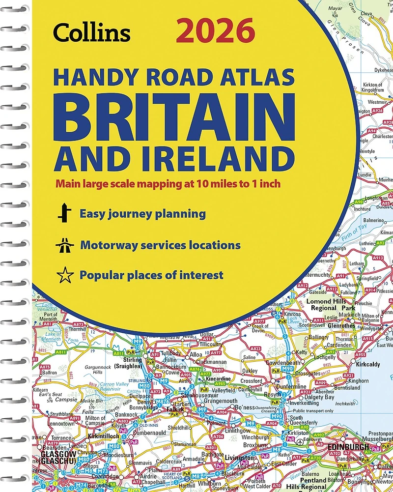
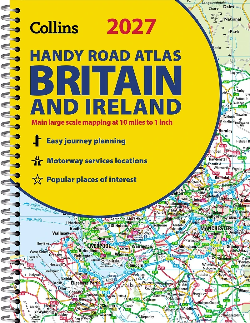
Collins Handy Road Atlas Britain and Ireland 2027 (A5 Spiral): Clear, easy-to-read mapping in Grande Prairie, AB
Current price: $11.99
Coles
Collins Handy Road Atlas Britain and Ireland 2027 (A5 Spiral): Clear, easy-to-read mapping in Grande Prairie, AB
Current price: $11.99
Loading Inventory...
Size: Spiral Bound Book (2025)
*Product information and pricing may vary - to confirm current pricing, availability, shipping, and return information please contact Coles. In the event of a pricing discrepancy, the retailer's price will apply.
Explore Britain with easy-to-read mapping from Collins.This easy-to-use, handy A5 road atlas with spiral binding features extremely clear route planning maps of Britain and Ireland, and fits neatly into your glove box or bag.The maps of Britain are at 10 miles to 1 inch (1:625,000) and the whole of Ireland is covered at 15.8 miles to 1 inch (1:1,000,000). There is also a selection of more detailed urban area maps at 4.5 miles to 1 inch (1:285,000) to aid route planning in these busy areas.Main features:Road maps that focus on the main roads, motorways and settlementsMore detailed maps of London, Manchester, Merseyside and West MidlandsUpdated Park & Ride locations, new rail stations and extensions to tram lines in Blackpool and EdinburghHandy distance calculator chart highlighting distances between the major townsOver 30 categories of places of interest including castles, theme parks, sports venues and surfing beachesNow includes dual Welsh / English names for Welsh locations, for example, Caerdydd / Cardiff
Explore Britain with easy-to-read mapping from Collins.This easy-to-use, handy A5 road atlas with spiral binding features extremely clear route planning maps of Britain and Ireland, and fits neatly into your glove box or bag.The maps of Britain are at 10 miles to 1 inch (1:625,000) and the whole of Ireland is covered at 15.8 miles to 1 inch (1:1,000,000). There is also a selection of more detailed urban area maps at 4.5 miles to 1 inch (1:285,000) to aid route planning in these busy areas.Main features:Road maps that focus on the main roads, motorways and settlementsMore detailed maps of London, Manchester, Merseyside and West MidlandsUpdated Park & Ride locations, new rail stations and extensions to tram lines in Blackpool and EdinburghHandy distance calculator chart highlighting distances between the major townsOver 30 categories of places of interest including castles, theme parks, sports venues and surfing beachesNow includes dual Welsh / English names for Welsh locations, for example, Caerdydd / Cardiff
You May Also Like

















Find at Prairie Mall in Grande Prairie, AB
Visit at Prairie Mall in Grande Prairie, AB