


Gifting Made Simple
Give the Gift of ChoiceClick below to purchase a Prairie Mall eGift Card that can be used at participating retailers at Prairie Mall.Buy Gift CardHome
A Cruising Guide to the Southern Bahamas
Coles
Loading Inventory...
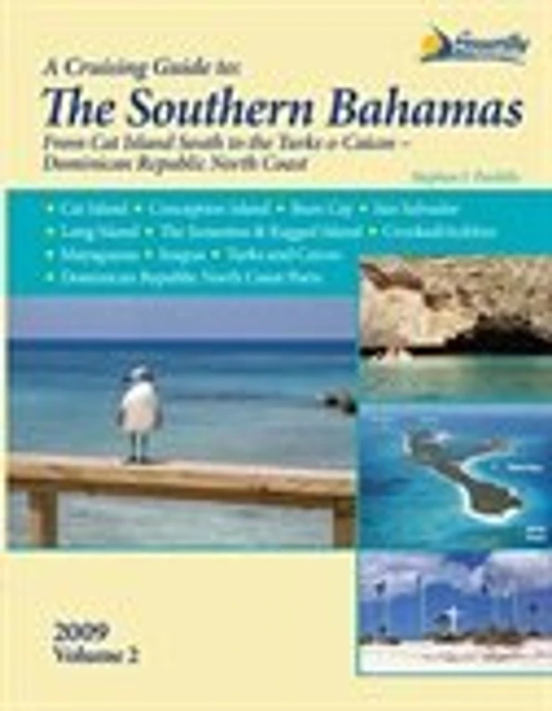
A Cruising Guide to the Southern Bahamas in Grande Prairie, AB
Current price: $79.95
Coles
A Cruising Guide to the Southern Bahamas in Grande Prairie, AB
Current price: $79.95
Loading Inventory...
Size: Paperback
*Product information and pricing may vary - to confirm current pricing, availability, shipping, and return information please contact Coles. In the event of a pricing discrepancy, the retailer's price will apply.
A Cruising Guide to The Southern Bahamas: from Cat Island south to the Turks & Caicos, including the Dominican Republic north coast, details the waters around Cat and Conception Islands, Rum Cay, San Salvador, Long Island, the Jumentos & Ragged Island, Crooked/Acklins, Mayaguana, Inagua, the Turks and Caicos as well as Dominican Republic North Coast Ports. With full-color aerial harbor photos and 100+ full-color sketch charts, it contains extremely accurate hydrographic data based on personally conducted independent surveys by the author. Southern Bahamas, Vol 2 also includes extensive navigational instructions, GPS waypoints, approaches and routes, anchorages, services, dive sites, history, basic information for cruising in the Bahamas, extensive appendices, index, bibliography and more. Features New Completely Updated Pavlidis Guide! New Full-color Aerial Photos All Original Charts Based on Personal Surveys Conducted by the Author Extensive Navigational Instructions, and GPS Waypoints Coverage Area: Cat Island Conception Island Rum Cay San Salvador Long Island Inagua Mayaguana Turks & Caicos The Crooked Islands District The Jumentos and Ragged Island Dominican Republic North Coast Ports
A Cruising Guide to The Southern Bahamas: from Cat Island south to the Turks & Caicos, including the Dominican Republic north coast, details the waters around Cat and Conception Islands, Rum Cay, San Salvador, Long Island, the Jumentos & Ragged Island, Crooked/Acklins, Mayaguana, Inagua, the Turks and Caicos as well as Dominican Republic North Coast Ports. With full-color aerial harbor photos and 100+ full-color sketch charts, it contains extremely accurate hydrographic data based on personally conducted independent surveys by the author. Southern Bahamas, Vol 2 also includes extensive navigational instructions, GPS waypoints, approaches and routes, anchorages, services, dive sites, history, basic information for cruising in the Bahamas, extensive appendices, index, bibliography and more. Features New Completely Updated Pavlidis Guide! New Full-color Aerial Photos All Original Charts Based on Personal Surveys Conducted by the Author Extensive Navigational Instructions, and GPS Waypoints Coverage Area: Cat Island Conception Island Rum Cay San Salvador Long Island Inagua Mayaguana Turks & Caicos The Crooked Islands District The Jumentos and Ragged Island Dominican Republic North Coast Ports
You May Also Like






Find at Prairie Mall in Grande Prairie, AB
Visit at Prairie Mall in Grande Prairie, AB